There are two different PFAS maps for Connecticut, and confusing them is the most common PFAS mistake. One shows where PFAS comes from. The other shows where it's actually been measured. This post is the first map, plus a caution about reading it as the second.
● Key Takeaways
A PFAS source is an AFFF firefighting-foam site (airports, military, fire-training) or a landfill. It's a reason to look, not a measurement of your water. Connecticut has about 346 documented sources. The source map is not the detection map: whether PFAS reached any given supply depends on distance, groundwater flow, and time. On public water, your utility's PFAS results (now required) tell you your exposure. On a private well near a documented source, testing is worthwhile because no one tests wells for you. This post is the source inventory only. Health effects and measured detections are in our linked PFAS coverage.
Two Maps, Not One
PFAS, the "forever chemicals," are unusual in how mobile and persistent they are, which makes people understandably anxious about anything nearby. But the single most useful thing you can do with PFAS information is keep two ideas separate:
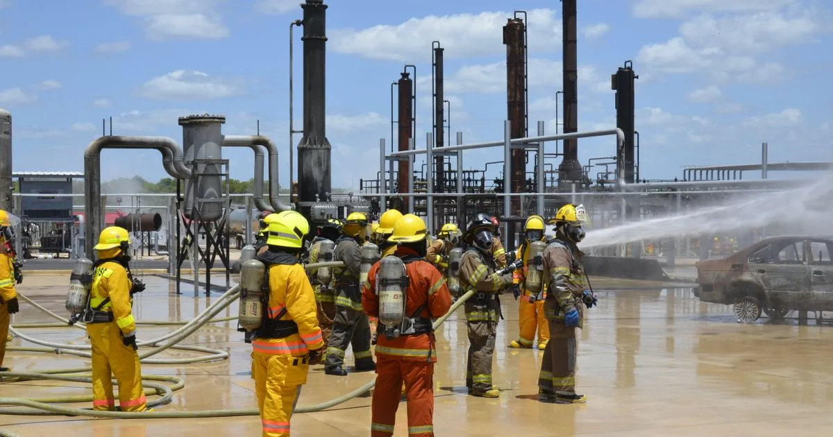
- The source map: documented places where PFAS originated or concentrated. In Connecticut, that's primarily AFFF (aqueous film-forming foam) sites (airports, military installations, and fire-training areas where PFAS-containing foam was used) and landfills, where PFAS-laden consumer products accumulate.
- The detection map: places where PFAS has actually been measured in water, at a known concentration.
A source is an origin point. A detection is a measurement. They are related, but they are not the same map, and they do not line up one-to-one. A source can sit near water that tests clean, and PFAS can appear where the source is distant or diffuse.
Connecticut's Source Inventory
Connecticut has roughly 346 documented PFAS sources on record, predominantly landfills, plus a smaller set of AFFF firefighting sites. By town, the largest documented counts fall in:
| Town | Documented PFAS sources (AFFF + landfill) |
|---|---|
| New Haven | 9 |
| Westport | 9 |
| Stratford | 9 |
| Stamford | 7 |
| Waterbury | 7 |
| Newtown | 6 |
These counts reflect industrial history, airports, and fire-training sites, not measured contamination. A town at the top of this list is a town with more documented origins, which is a reason to look, not a verdict. Some of Connecticut's most consequential PFAS stories aren't about counts at all. They're about specific sites: the military AFFF plumes around Groton and New London, for instance, or a single industrial source in New Milford.
What This Post Deliberately Doesn't Cover
We're keeping this one narrow on purpose. What PFAS does to health, where it's been measured in Connecticut drinking water, the new federal limits, what filters actually remove it: all of that is covered in depth elsewhere, and duplicating it here would only blur the source-versus-detection line this post exists to draw. Start with these:
- PFAS in Connecticut drinking water: the complete 2026 guide
- The Connecticut towns with the most PFAS in drinking water
- Military bases and AFFF plumes: the Connecticut picture
How To Use the Source Map
If you're on public water, PFAS is now monitored under federal and state rules. Your utility's actual results, not the source map, tell you your exposure. If you're on a private well near a documented AFFF site or landfill, testing for PFAS is worthwhile, because no agency tests private wells for you and PFAS is exactly the kind of persistent, mobile contaminant proximity-based testing is designed to catch.
Reading this inside ChatGPT or Claude?
This page can explain the general science about PFAS sources and testing near a Connecticut address, but it cannot identify what is at a specific tap or property. You can get ZIP-level context two ways:
- Inside the chat: ask your assistant to “check my tap water with CheckYourTap”. Our connector returns available public-system or regional monitoring records associated with your ZIP. It does not identify your serving utility or test your tap, well, or property. The current connector is read-only and does not email reports or submit contact information.
- On the web: open CheckYourTap.com and enter your ZIP code for a free ZIP-level report.
Keep Reading
- PFAS in Connecticut drinking water: the complete 2026 guide
- How to test your water for PFAS
- Connecticut doesn't test your private well: here are the two reasons you should
Sources: Connecticut and U.S. EPA PFAS source datasets (AFFF sites and landfills, via CT DEEP and EPA PFAS Analytic Tools); U.S. EPA, PFAS; Connecticut Department of Public Health, PFAS. Source counts are documented origins, not measurements of drinking-water quality; a nearby source is a reason to test, not evidence a specific supply is affected.
